|
Width: 400 Height: 400 Extent:
YMin: 28.01392174730517 XMax: 124.94634981713821 YMax: 43.18536512047904 Spatial Reference: 4610 (4610) Scale: 1.5940000000000007E7 |
| ArcGIS REST Services Directory | Login | Get Token |
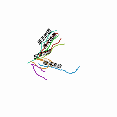
| Home > services > 黄河下游历年河道 (MapServer) > export | Help | API Reference |
|
|
Width: 400 Height: 400 Extent:
YMin: 28.01392174730517 XMax: 124.94634981713821 YMax: 43.18536512047904 Spatial Reference: 4610 (4610) Scale: 1.5940000000000007E7 |